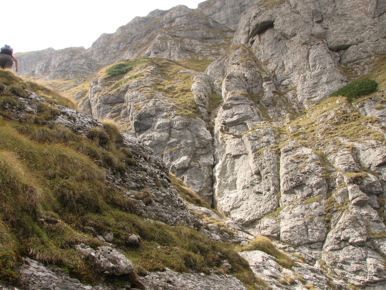
At an elevation of around 2000 meters we left the valley floor and started
to climb the hidrographically right (to our left) bank; we climbed on the
grass some 200 meters until we reached the beginning of the Brana Vaii
Albe trail. The GPS coordinates of that beginning point: 45.41788N,
25.48885E, 2225m elevation.
 ]
]