Home -> My mountain trips -> May 9th, 2009 -> Picture # 17
How to find the way out of the valley: From the small dam proceed on the
right (as we go up) by descending on a wooden ladder; here a trail starts and
it follows the right bank of the river as we go up (hydrographical left) for
some 50 meters. Then a small red arrow on a boulder in the water tells us
to cross on the other bank, the left one as we go up (hydrographical right);
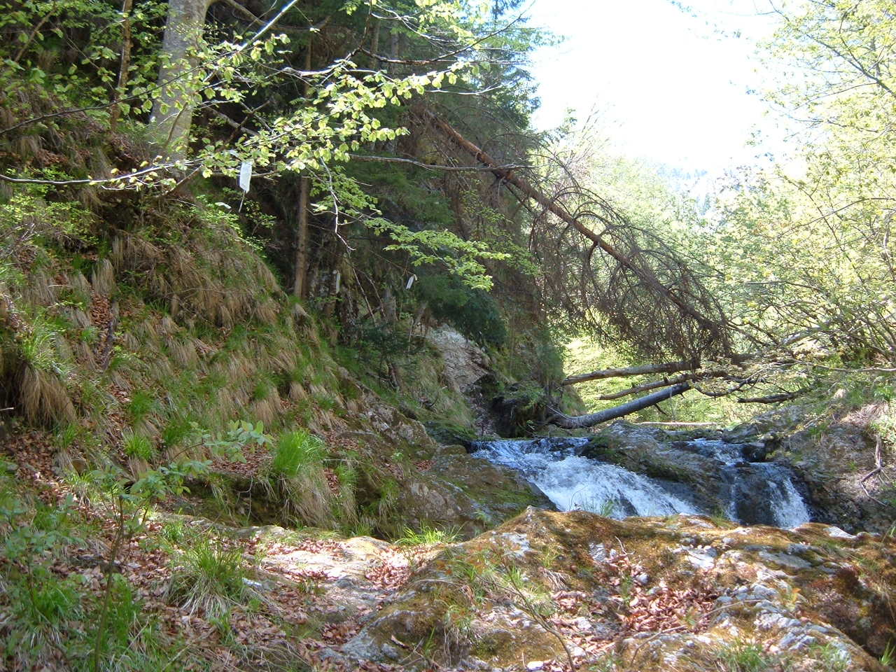
then proceed on the other bank for 300-400 meters until the fallen tree
which spans the river (visible in the background); cross the river again
and some 50 meters upriver the 'Iesire spre Calugarita' table can be seen.
In the picture is visible the signage of the trail too - plastic red-white
stripes attached to tree branches; due to the sun they became just white or
yellow-white. There are three such stripes visible in the picture.

 ]
]  ]
] 